ANAPOLIS (2010-2012)
Analysis of polygonal terrains on Mars based on Earth analogues
Activities
This project is organized in 4 main tasks:
- Data acquisition - The objective of this task is to compile existing data on terrestrial and Martian polygonal terrains, and to organize it into a database.
- Field surveying and mapping - The objective of this task is the selection and detailed mapping of areas of occurrence of polygonal networks in the Svalbard islands (Norway). This will lead to the acquisition of ground truth data for validation of the automated identification and classification algorithms.
- Data integration - The objective of this task is to integrate the detailed local data obtained in the field campaigns in Svalbard with the remote sensing data relative to the same area in order to validate the automated methodology for mapping of polygonal networks.
- Analysis of networks on Earth and Mars - The objective of this task is the accurate identification and characterization of polygons on remote sensing images, by an automated procedure that can process large extensions of terrain in a small period of time and produce an accurate and precise definition of the networks.
- Field Campaign 2010
A field survey was conducted in a selected region in the valley of Adventdalen to gather accurate data on the geometry and topology of the polygons, on the characteristics of the soils and vegetation, and on the depth of the active layer. This was greatly aided by the two available sets of remotely sensed imagery with very high spatial resolution of the test site. The first is constituted by aerial images acquired by the Norsk Polarinstitutt in 2009 with a spatial resolution of about 20 cm/pixel. The second set of images, of even higher spatial resolution (4-6 cm/pixel), was captured by a camera mounted on an UAV-Unmanned Aerial Vehicule operated by Kolibri GeoServices.
 Polygonal pattern  Monitoring ice-wedges |
 Monitoring the active layer  Preparing UAV flight |
- Field Campaign 2011
The field survey in this campaign, guided by the preliminary evaluation and processing of the data gathered in the 2010 campaign, intended to complete and detail some of the tasks already developed, namely to obtain more topographic data to produce a finer elevation model of the terrain, to survey in more detail surface features to improve the geomorphological map, to obtain additional ground-truth data on both margins of the river for validating the classified remotely sensed images and to double check some of the troughs of the polygons. A detailed sampling of the soils was planned and performed, extracting samples at many different locations and depths for laboratorial analysis.

Preparing for the daily field tasks.

Soil sampling task
|

Ground-truth survey with DGPS
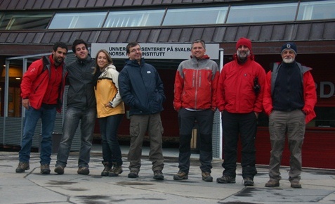
Team involved in the 2011 campaign (from left to right): Marc, Marco, Maura, José, Gonçalo, Pedro and Mário.
|
- Field campaing 2012
